



Learn about Eagle Eye Innovations and the people at the heart of the organisation.

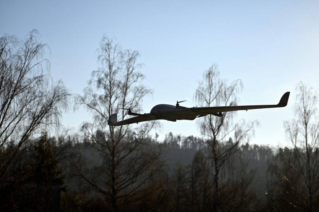
As Unmanned Aerial Systems (UAS) technology and regulation mature, one of the most powerful enablers of scalable Beyond Visual Line of Sight (BVLOS) operations is the introduction of the Remote Pilot Competency (RPC) framework from the Civil Aviation Authority (CAA) and the emergence of Atypical Air Environments (AAEs).
AAEs are specific volumes of low‑altitude airspace where unmanned aircraft are highly unlikely to operate, typically because the area sits very close to ground structures such as powerlines, buildings, wind turbines, railways, or industrial infrastructure.
Below, we explore some core use cases where the Remote Pilot Certificate Level 2 (RPC-L2) classification creates transformational value for organisations and operations.
Linear assets stretch for miles across terrain that is often remote and hard to access, making them expensive to inspect by manned aircraft. These factors make them perfect for BVLOS drone operations.
If we examine powerline inspections as an example, an application that has historically required manned aviation such as helicopters to undertake, this represents one of the most mature and well-established drone applications.
With UAS being able to undertake routine visual and thermal inspections, identifying damaged insulators, conductor faults or vegetation encroachment via an advanced sensor payload, the cost of inspections across a network of long-distance transmission corridors can be reduced dramatically.
Railway corridor monitoring represents another example of a linear structure where UAS can safely fly low and close to tracks and infrastructure, where manned aircraft don’t operate, enabling the detection of obstructions, ground movement, or an indication of flooding during severe weather conditions.
The RPC-L2 will also support rail operators wishing to undertake automated low visibility or night-time patrols, helping to monitor and ensure the security of assets across the railway network.
As renewable energy infrastructure grows, so too does the cost of inspection.
UAS dramatically reduce inspection time, covering large solar farms in hours instead of days, whilst improving data accuracy through automated, consistent aerial coverage.
For solar farms, thermal and RGB imaging combined with AI‑powered analytics can identify hotspots, microcracks, electrical faults, shading issues, and structural problems far more effectively than manual inspections.
LiDAR mapping, GIS integration, and digital documentation enable precise site planning, faster repairs, safer operations, and improved long‑term energy output.
RPC-L2 unlocks the full potential of Drone‑In‑A‑Box (DIAB) systems supporting site and perimeter security; as part of this function and operating under BVLOS conditions, UAS and their operators can undertake scheduled perimeter patrols, routine security sweeps and rapid alarm‑triggered investigations, reducing response times and increasing the chances of capturing valuable evidence in the event of a prosecution.
Many private or enclosed sites naturally meet AAE criteria because they have tightly bounded airspace close to structures. The RPC-L2 provides operators with the ability to conduct inspections inside large and complex industrial facilities, conduct site surveys and monitor the progress of large construction projects and provide an overview of operations within ports, refineries, or large logistics hubs.
It’s not just industrial operations that will benefit from the RPC-L2 and BVLOS operations. The agricultural sector has the potential to be revolutionised, with UAS being able to undertake crop surveys, seeding operations and engage in precision crop spraying without disturbing livestock or causing crop damage.
When equipped with multispectral (MSI) and hyperspectral imaging (HSI) sensors, UAS can capture detailed information across different wavelengths of light, allowing farmers to assess crop health, detect stress, and even infer aspects of soil condition and chemical composition when combined through careful calibration and analysis. These advanced imaging techniques can reveal nutrient deficiencies, moisture variability, and early signs of disease that are not visible to the naked eye.
By integrating this data into farm management systems, growers can move toward highly targeted interventions, such as variable‑rate fertilisation and precision spraying of pesticides or herbicides only where needed. This not only improves crop yields and input efficiency but also reduces chemical usage, environmental impact, and operational costs, making drone‑enabled MSI and HSI a cornerstone of sustainable, next‑generation agriculture.
With the arrival of the RPC‑L2 framework and the practical implementation of AAEs represents a pivotal step forward for BVLOS UAS operations. By enabling safe, low‑altitude flight in predictable environments, these developments remove long‑standing operational barriers and unlock scalable, cost‑effective solutions across multiple sectors.
From linear infrastructure and renewable energy to security, industrial sites, and agriculture, the ability to deploy UAS more flexibly and autonomously is set to redefine how organisations approach inspection, monitoring, and data collection. As adoption grows and regulatory confidence strengthens, RPC‑L2 and AAEs will not simply support drone integration, they will underpin a new standard for efficient, intelligent, and future‑ready aerial operations.
The RPC-L2 certification enables UAS pilots to fly safely in predictable, low‑altitude airspace, the RPC-L2 qualification, combined with AAEs, opens the door to a vast range of commercial, industrial, and public‑sector applications. As infrastructure owners and regulators continue to embrace the concept, they will become a foundational element of UAS missions.
News
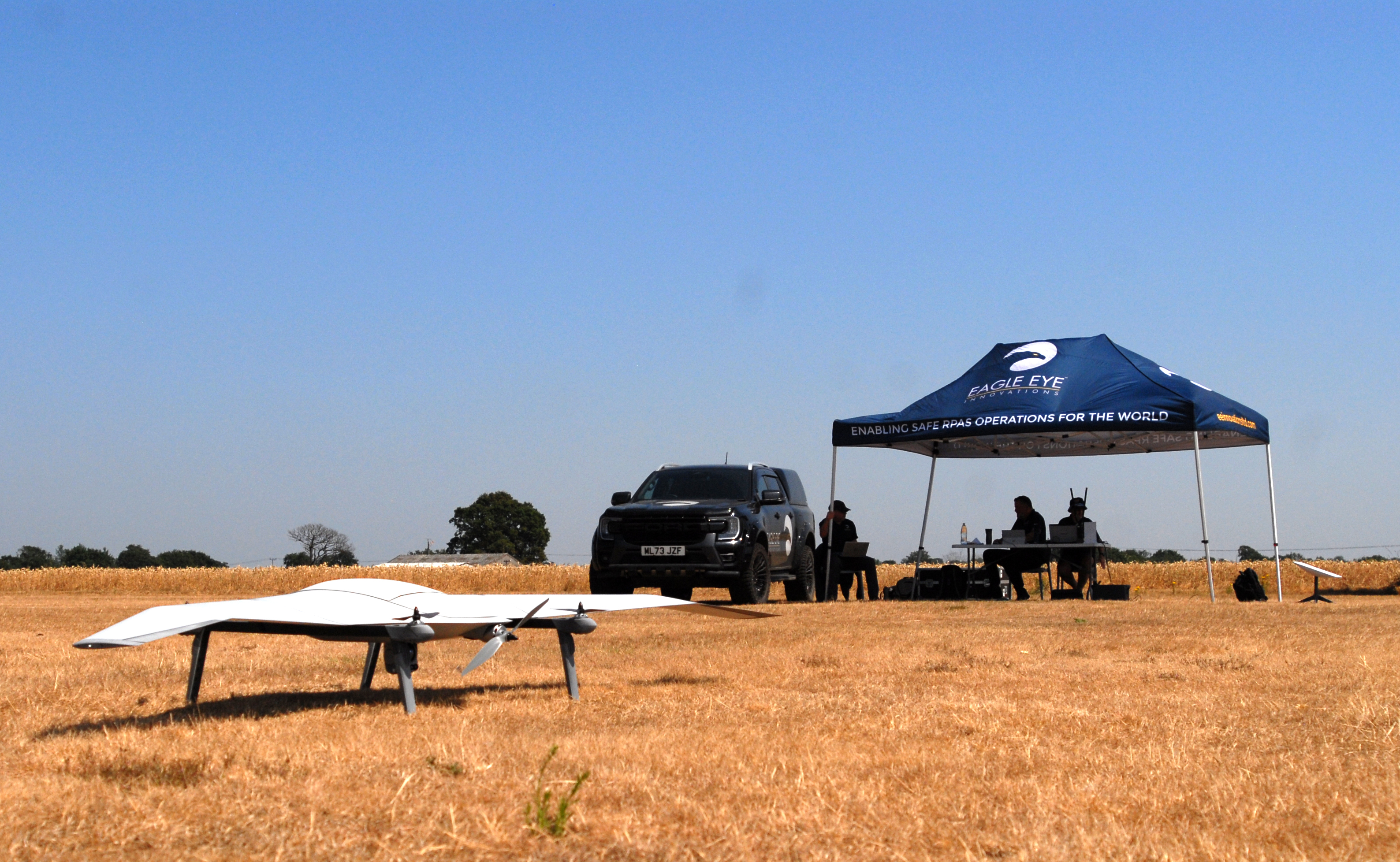
Eagle Eye Innovations (EEI) has been granted an Operational Authorisation by the UK Civil Aviation Authority (CAA), marking a significant milestone in the company’s development of advanced BVLOS operations and its future RPC-L2 training and assurance capability. The authorisation follows... Read more
Training
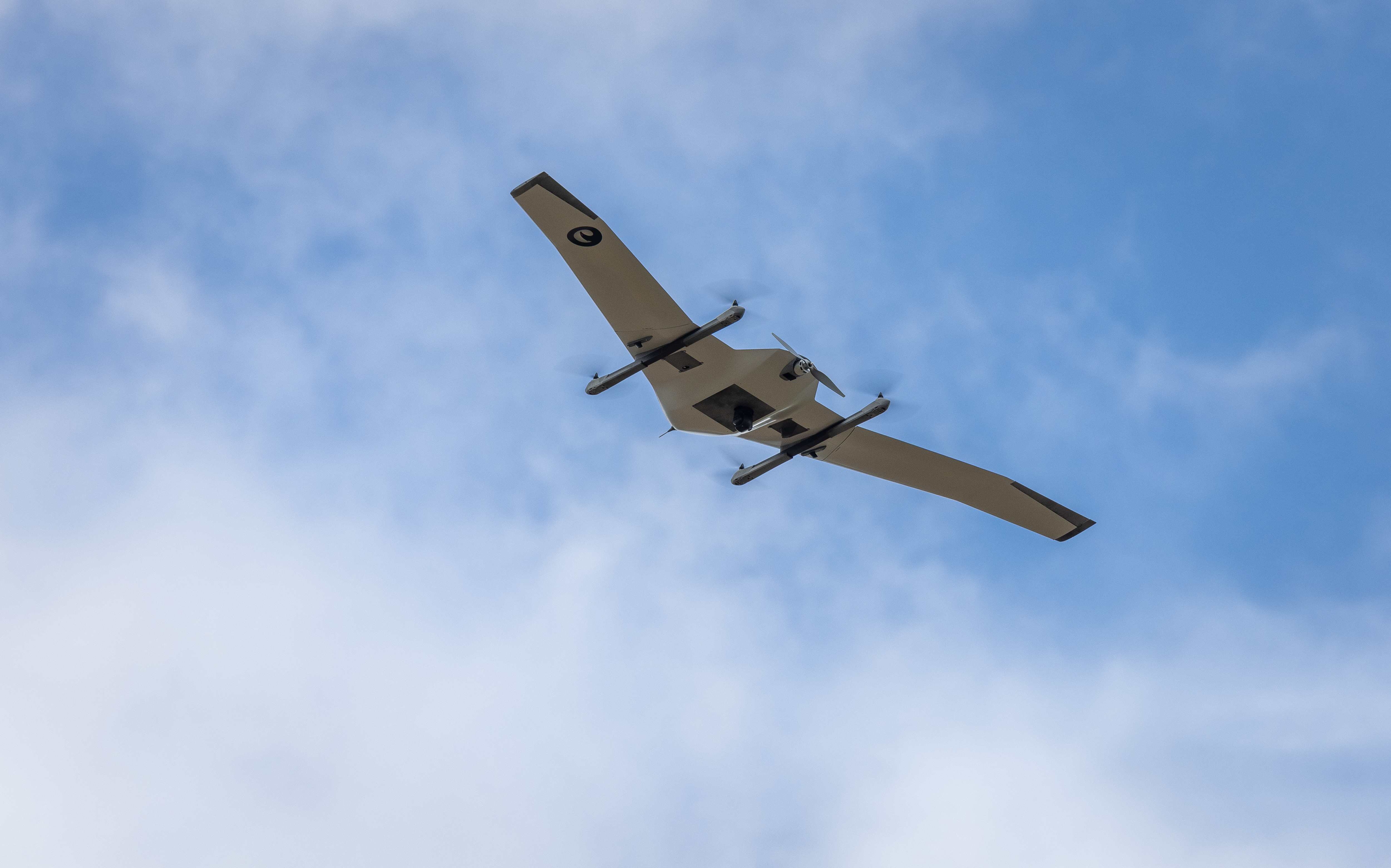
As the UK drone sector moves towards greater regulation and operational complexity, pilot competency has never been more critical. Our latest guide breaks down the new Remote Pilot Certificate Level 2 (RPC‑L2)—what it is, who it’s for, and how it enables pilots to safely progress into more advanced operations, including localised BVLOS flying.
News
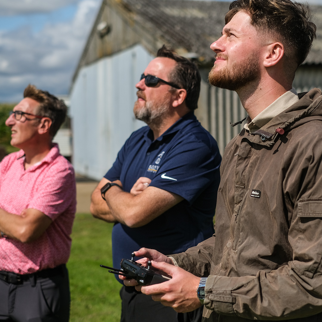
ARPAS‑UK members can access a 10% discount on Eagle Eye Innovations’ RPC-L1 and future RPC-L2 training, offering accredited, professional drone pilot development.
Training

This month, our instructors have returned to Dubai to deliver a bespoke, two-week Emergency Services RPAS programme for members of the Abu Dhabi Police Force. The course is designed and delivered to introduce the Police Force to the tactical and procedural aspects of RPAS operations, and to demonstrate how these methods... Read more
Training

The widely recognised General Visual Line of Sight Certificate (GVC) is potentially being phased out completely over the next couple of years as outlined in CAP 3170, to be replaced by the new Remote Pilot Competence (RPC) Framework. But what does this mean for you?
Training

This year's UK SORA updates have put the importance of CRM into focus, ensuring that operators are evaluating and mitigating risk factors from both a technical and organisational perspective. Have you thought about the effects of CRM on your operations?






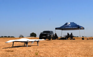
You need to have an RPC-L1 Aeroplane qualification to begin this course, as this will build upon the fundamentals of fixed wing flying to convert you to type on our impressive DeltaQuad Evo RPAS. What’s more, you will also learn how to use the exceptional Auterion Mission Planner, which is the brains of the operation when using DeltaQuad. This is a VLOS course only, although we have the ability to further expand on this into the BVLOS environment, provided the correct regulatory approvals are established. Experience this cutting-edge VTOL RPAS now and let us show you how it can further benefit your operations.
Our new 1-day Observers course is designed to expand your RPAS crewing capabilities and de-risk more complex operations through the provision of professionally qualified RPAS safety observers. Utilising proven aviation standards and procedures, our professional and
experienced instructors will guide you through the fundamentals of Crew Resource Management, crew communications, RPAS control and coordination and give you the practical experience you need to maximise the benefits of your RPAS for VLOS operations and beyond.
If you hold a valid GVC and want to convert to an RPC-L1 qualification in the same category of UAS, under the CAA you are exempt from conducting the theory elements of the course and may progress directly to the practical elements. Therefore, you simply need to book
onto either our conversion course or the practical days of a full RPC-L1 course (provided there is capacity to fit you in). This will provide you with the minimum of 2-hours flight instruction before you attempt the flight assessment. Proof of GVC validity will be required prior to conducting the training.
This course is designed to qualify you in either Rotorcraft or Aeroplane, noting that you only need to conduct the practical aspects of the course, provided you have successfully passed the full Level 1 course in the other discipline.
(Please note this does not include conversion onto our DeltaQuad platform; that is a bespoke course in its own right).
 Make an enquiry